| VARNELL ROBERT JR & STEPHEN L |
| SALE MARTHA JO |
|
| PO BOX 1353 |
|
| WILSON , NC 27894-1353 |
|
| Property
Location Address |
|
| Parcel
ID No. |
3732380328.000 |
| PIN |
3732 38 0328 000 |
| Owner ID |
1105710 |
| |
Future Transfer |
| Tax
District |
12 - C/SW/EAST NASH FD |
| |
| Land Use Code |
01 |
| Land Use Desc |
SINGLE FAMILY RESIDENTIAL |
| |
|
| Neighborhood |
8341 - US_301-NC_42_I-1 |
|
| Legal
Desc |
2050 FIRESTONE PKWY NE |
| |
TR-B 30.33AC |
| |
|
| Deed
Year Bk/Pg |
2015 - 2639 / 87 |
| Plat
Bk/Pg |
14 / 146 |
| |
Sales
Information |
| |
| Grantor |
VARNELL ROBERT JR & STEPHEN L |
| |
SALE MARTHA JO |
| Sold
Date |
2024-01-11 |
| Sold
Amount $ |
470,000 |
|
| |
| Market Value $ |
248,155
|
| |
|
Market
Value - Land and all permanent improvements,
if any, effective January 1, 2024, date
of County’s most recent General Reappraisal
|
|
| |
|
| Assessed Value $ |
124,762
|
| |
If
Assessed Value not equal Market Value then
subject parcel designated as a special
class -agricultural, horticultural, or
forestland and thereby eligible for taxation
on basis of Present-Use.
|
|
|
| Year
Built |
1964 |
| Built
Use/Style |
SFR-1.0 STY |
| Grade |
D+10 / D+10 GRADE |
| * Percent
Complete |
100 |
| Heated
Area (S/F) |
1,676 |
| Fireplace
(Y/N) |
N |
| Basement
(Y/N) |
N |
| ** Bedroom(s) |
4 |
| ** Bathroom(s) |
2 Full Bath(s) 0 Half Bath(s) |
| *** Multiple
Improvements |
001 |
*
Note - As of January 1
*
* Note - Bathroom(s), Bedroom(s), shown for description
only
* * * Note - If multiple improvements equal “MLT” then
parcel includes additional major improvements |
|
| Photo |
Photo 1
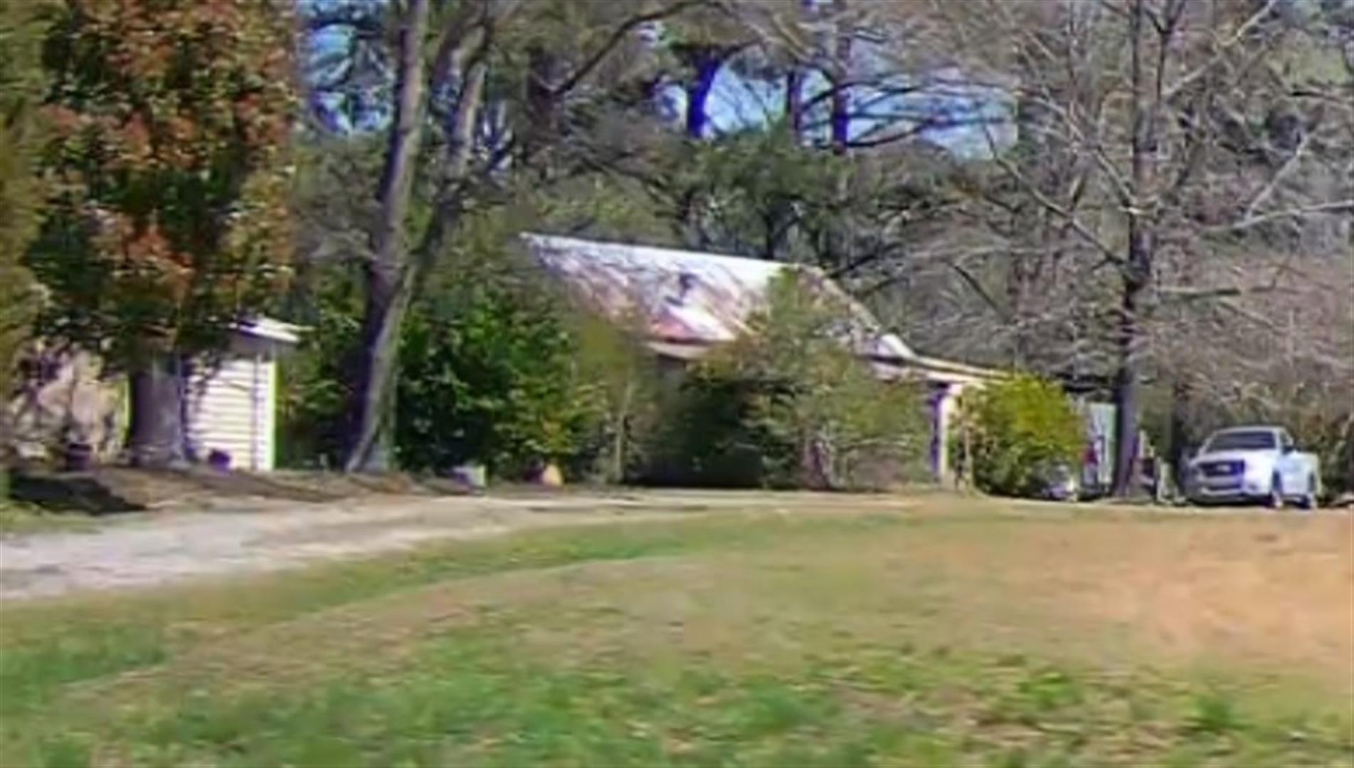 Photo 2
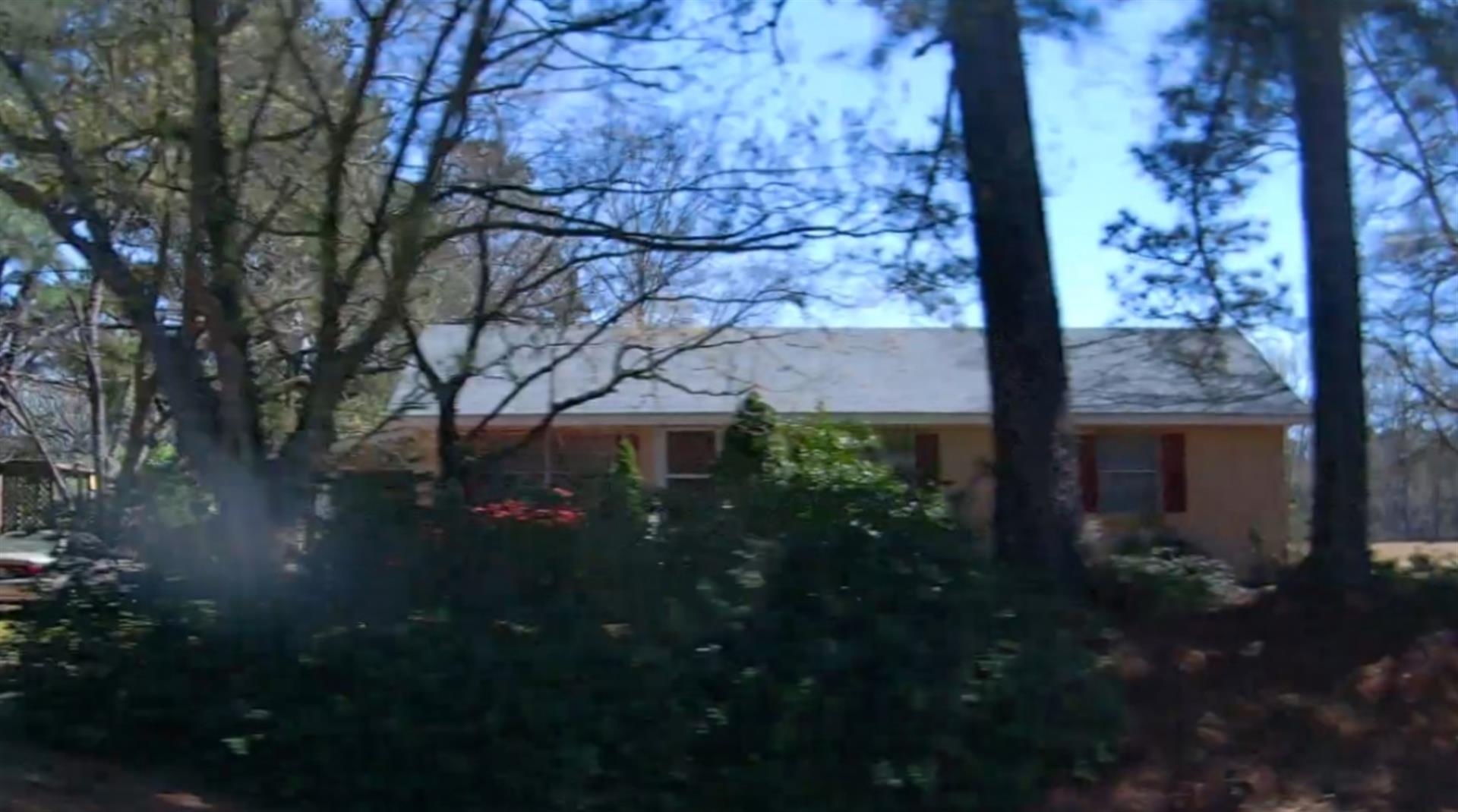
|
|
| Building
Sketch - NOTE: Sketches are updated the first day of every month. |
|
|
| Map Acres |
30.33 |
| Tax District Note |
12 - C/SW/EAST NASH FD |
| Present-Use Info |
SINGLE FAMILY RESIDENTIAL |
| Zoning Code |
LI |
| Zoning Desc |
LIGHT INDUSTRIAL |
|
| Total Improvements Valuation
|
*Total Improvements Full Market Value $
|
**Total Improvements Assessed Value
|
89,438
|
89,438
|
*
Note - Market Value effective Date equal January 1, 2024, date of County’s most recent General
Reappraisal
** Note - If Assessed Value not equal Market Value then variance
resulting from formal appeal procedure |
|
| Land
Value Detail (Effective Date January 1, 2024, date
of County’s most recent General Reappraisal) |
Land
Full Value (LFV) $
|
Land
Present-Use Value (PUV) $ **
|
Land
Total Assessed Value $
|
158,717
|
35,324
|
35,324
|
| **
Note: If PUV equal LMV then parcel has
not qualified for present use program |
|
| Land
Detail (Effective Date January 1, 2024, date of County’s
most recent General Reappraisal) |
Rate Type |
Rate Code |
Description |
Quantity |
AC |
5010 |
RURAL HOMESITE PAVED |
1.000 |
|
|
|
.000 |
AC |
0120 |
RURAL RESIDENTIAL ACREAGE |
5.600 |
LU |
5110 |
|
5.600 |
AC |
0120 |
RURAL RESIDENTIAL ACREAGE |
9.050 |
LU |
5210 |
|
9.050 |
AC |
0120 |
RURAL RESIDENTIAL ACREAGE |
14.680 |
LU |
6110 |
|
14.680 |
|
|
|
|
